

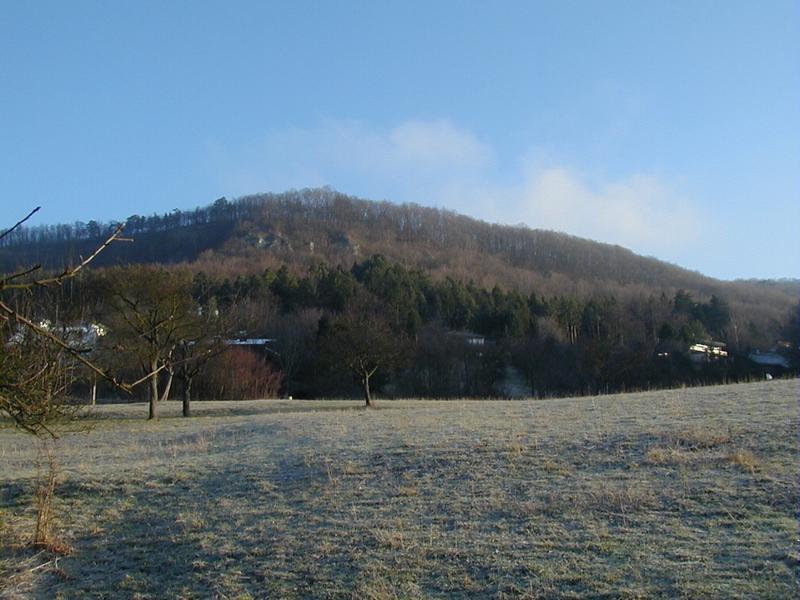
Unterhausen is a part of the "Gemeinde" (=Community) Lichtenstein in South Germany (48° 25' N, 09° 15' E) at the foot of the Swabian Mountains. Lichtenstein has 9400+ inhabitants and consists of Unterhausen, Honau, Holzelfingen, Göllesberg and Traifelberg. Pfullingen is north of Unterhausen and has 18200+ inhabitants. There is a small road to the east of the main road B312 leading from Unterhausen to Pfullingen bewteen which the river Echaz flows. The Echaz originates in Honau and flows into the Neckar but cannot be seen on the pictures here. On the Mountain Schönberg there is a building called the "Schönbergturm" (="Pretty Mountain Tower") which is also called the "Unterhose" (=Underpants) because of it's similarities to warmers.
 |
 |
 |
Between Unterhausen Lichtenstein and Pfullingen in South Germany |
 |
 |